| Nobuyoshi Fugono |
 |
|
|
 |
 |
|
[Slide 20]
[Slide 21]
[Slide 22]
[Slide 23]
[Slide 24]
[Slide 25]
[Slide 26]
[Slide 27]
[Slide 28]

[Slide 29]
[Slide 30]
[Slide 31]
|
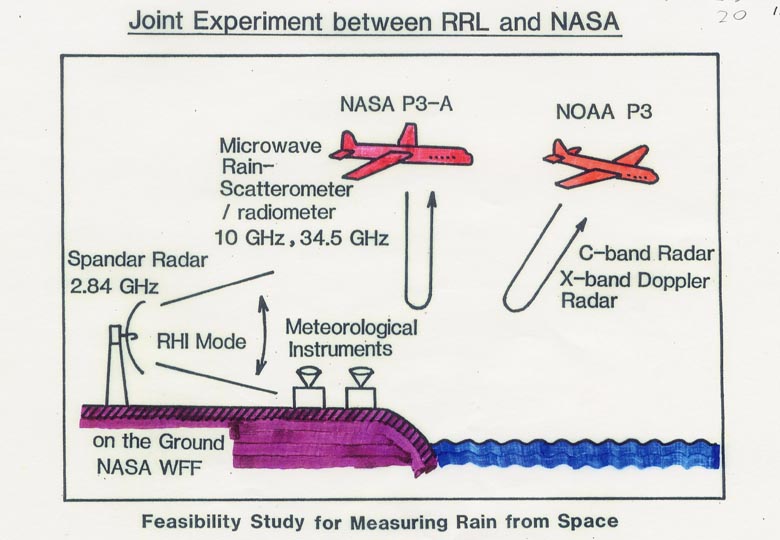
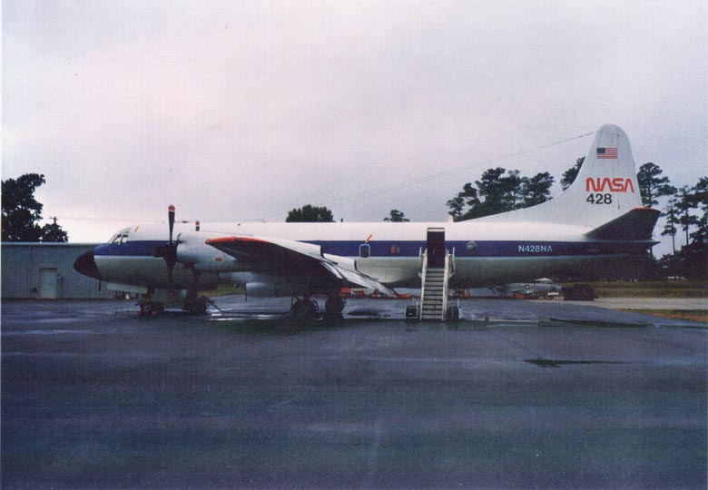
[Slide 20]
The Japan side provided the airborne radar. Using NASA's airplane and also NOAA's, the experiments were carried out together with ground radars at Wallops Island.
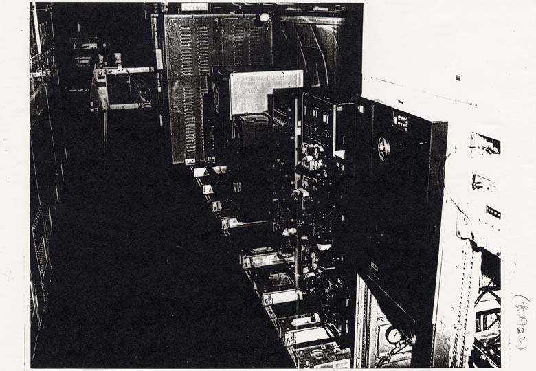
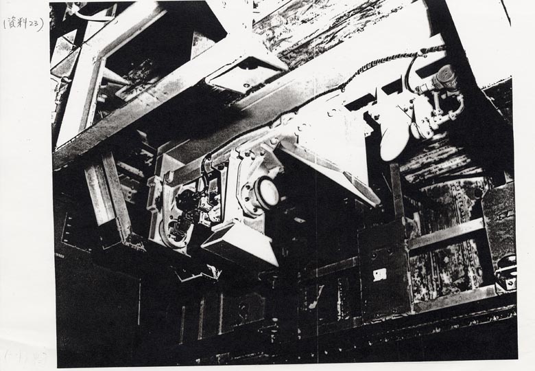
[Slide 21] [Slide 22] [Slide 23]
The airplanes of the USA were very large as this shows, we could walk standing upright inside, and antennas were set in an isolated compartment under the fuselage, so it was not necessary to wear oxygen masks. Soon after starting the joint experiment, NASA made a proposal to us that the joint experiment be raised to a Japan-US joint satellite project TRMM. In November of 1985, we held a workshop. (see also: Slide 9) At the workshop Dr. Elachi - he is here today - also participated, and the general concept of the TRMM was proposed.
[Slide 24] [Slide 25]
Though there are several slides on the background of the concept and the discussions for the final targetand so on, time is short so I'll skip these explanation.
[Slide 26]
This is the material used to explain the characteristics of the TRMM, and also its merits for getting funds from fiscal authorities of the USA and Japan.
[Slide 27]
At that time the concept TRMM satellite was like this. This is required specification of the precipitation radar. It was very big and heavy. We were uncertain whether it would be possible or not to install the precipitation radar on the satellite. When we proposed the idea to install the rain radar on a satellite in Japan for the first time, the idea was ignored as an act of crazy. The radar was still too large at that time even after the air-borne experiments and redesign for satellite borne.
[Slide 28]
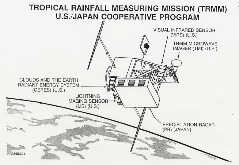
The concept of the TRMM was arranged to measure rainfall with combinations of radar with a microwave radiometer and Visible-Infrared radiometers at that time. The concept was carried out with little change until the last stage. This little change will be explained later.
[Slide 29]
Furthermore, it was decided that Japan would provide with the radar, the USA would work on the other sensors as well as the satellite, and H-II rocket of Japan would be used for launching .
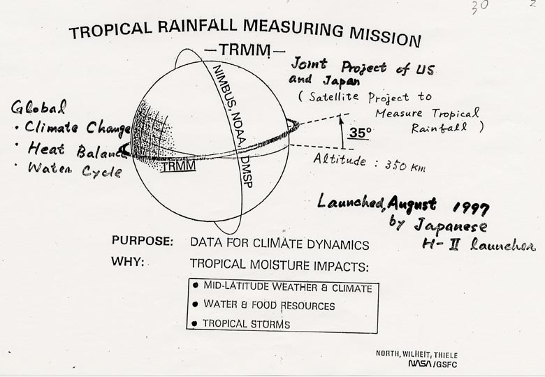
[Slide 30]
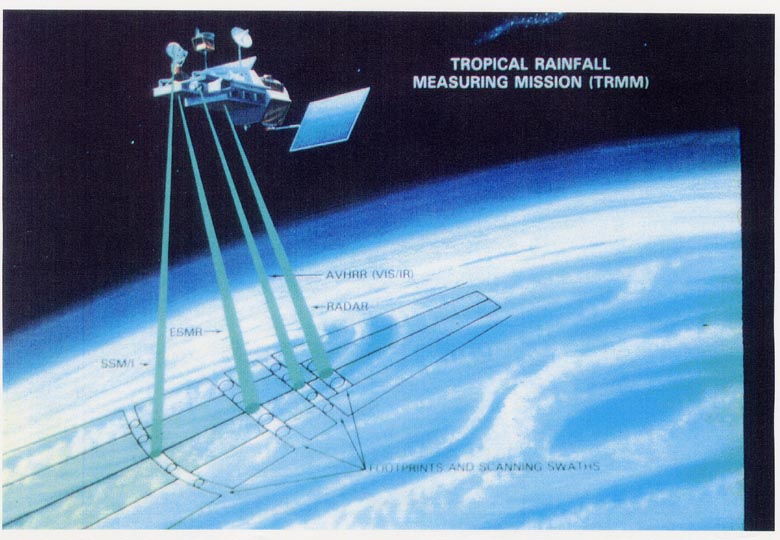
By the way, many of remote sensing satellites usually travel on this kind of orbit. These are sun-synchronous satellites such as LANDSAT and ADEOS. Because these satellites are taking measurements using Visible-Infrared sensors, it is necessary they measure at the same local time, for example at 10am, every time.
In the case of rainfall, there are many regions where the rainfall has particular characteristics, that is local time dependence. In some places rain falls in the morning, and in other places it always showers in the afternoon. In these regions, if satellites measure at the same rainy time every day, the data will indicate that floods should occur, but if they measure at a different time the data will show the same regions will be mistaken like as deserts in spite of having enough rain.
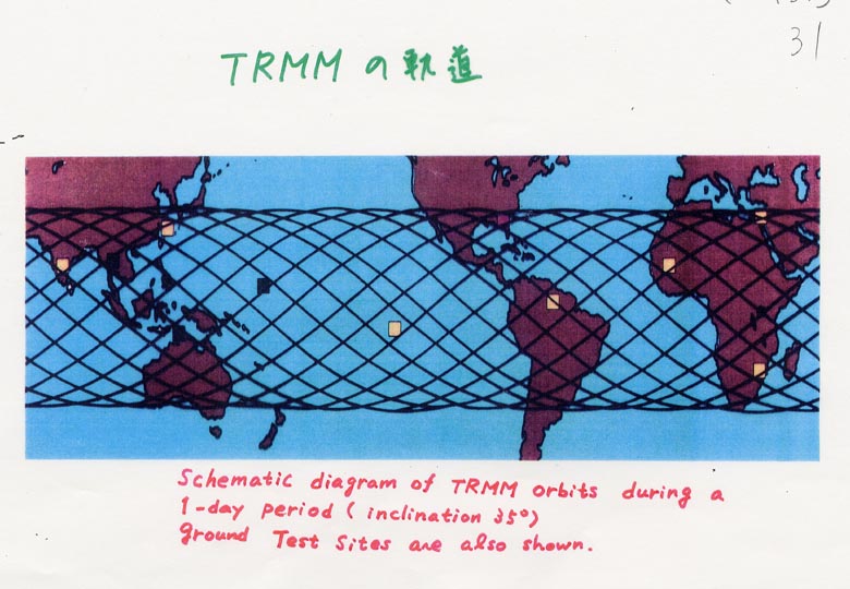
[Slide 31]
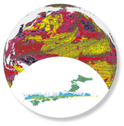
To avoid such misleading collection of information, the orbit of the TRMM satellite was set at a low inclination angle to cover all the local time, which enabled us to get accurate rainfall data. Currently, the TRMM has been covering the low latitude region, centered on the tropical belt. The rainfall in the tropical area accounts for 2/3 of the total rainfall on the earth, and also, as I mentioned before, the heat engine of the atmospheric circulation. That's why we focused our purpose on the measurement of tropical rainfall.
|
|
|